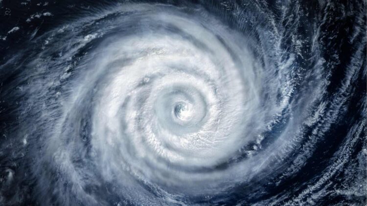
Climate change is showing its effects more and more clearly every year, and the scariest thing is that it is intensifying natural disasters and making them happen a lot more frequently than before. One of the metrics experts use to determine this is the number of tropical storms and hurricanes that we will see, and 2025 is opening up to be quite the year, with between 13 and 19 named storms predicted and with 6 to 10 of those expected to strengthen into hurricanes
Hurricane season officially starts on June 1st, and because there have been plenty of times when tropical storms and hurricanes come early, so do the predictions from groups like the National Oceanic and Atmospheric Administration, this way citizens in potentially affected areas can start to get an idea of what is to come.
They are able to do this by measuring the temperature of the ocean, specifically in the areas where tropical storms tend to spin up, as warm water is hurricane fuel. The hotter the sea surface, the more energy a storm can pull in and the Atlantic has been running warmer than average. Another tool that they use is a global climate pattern called the El Niño–Southern Oscillation, or ENSO for short. This pattern has three phases, El Niño, La Niña, and neutral and depending on which phase the year is in, the storms and hurricanes will be one way or another.
El Niño forms when surface temperatures in the tropical Pacific Ocean are about 0.5°C (0.9°F) above normal for three months. This strengthens the winds and can disrupt storms and hurricanes. La Niña is the reverse, with temperatures cooler than normal, which brings weaker upper-level winds, which helps storms stay organized and grow stronger.
This year, we seem to be in the middle ground, with the atmosphere not doing much to help or hurt hurricane formation, but sea temperatures are above the long-term average. All this means that this season could be a bit more active than normal.
Other factors that can influence hurricane season
While ocean temperatures and the ENSO phases are important once the season is here other short-term influences start to matter more, but by then it is too late to make predictions. One of the factors in dust from the Sahara desert, which is carried across the Atlantic by strong winds. It is a key factor because it tends to dry out the air and block sunlight from warming the ocean surface, which is bad for hurricanes (it is a La Niña contributor).
Dust outbreaks are next-to-impossible to predict months in advance, which makes this factor a true wildcard that can only be detected a couple of weeks before the dust reaches the primary hurricane development region off the coast of Africa.
Another set of important factors are African easterly waves, clusters of storms that roll off West Africa and head west across the ocean as well as the Madden–Julian Oscillation, or MJO, a pulse of weather activity that circles the tropics every month or two. The Loop Current, a deep stream of warm water that flows into the Gulf of Mexico, is also something to consider, especially since it had a large role in Hurricanes Katrina in 2005 and Ida in 2021, but it is constantly shifting and that makes it harder to predict, as it influence depends on where it is when a storm moves through.
All these factors combined with the changes that we see yearly mean that formation hotspots also change over time, with the early season being focused on Gulf of Mexico (Texas, Louisiana, and the Florida Panhandle being the main affected places) and the later season impacting near the Cape Verde Islands and moving towards the western Atlantic and Caribbean.

